Volcanic country offers more than a climb to the highest visible point. Lava textures, broad slopes, viewpoints and visitor interpretation can form a complete outing without turning the day into a summit attempt. Start by identifying the authorised areas intended for ordinary visitors.
Check current access information from the responsible park or local authority. A route shown in an old travel article may be restricted, and the presence of other walkers does not override a closure. Choose a visit that fits the permitted area and your actual plans. Do not treat an accessible road or a distant view of a peak as evidence that approaching farther is appropriate.
A guide or an interpretive display can help you distinguish features that otherwise merge into a general rocky scene. Ask about what is visible from your route: a flow boundary, a change in texture or a shaped hillside. You can learn a great deal without needing specialist equipment or a demanding ascent.
Try building the visit around three scales. First, look at the overall outline from a permitted viewpoint. Next, notice a slope or boundary that the guide or display identifies. Finally, observe a texture visible beside the authorised path. Moving between those scales creates a narrative without needing to travel far.
If you photograph the sequence, keep the viewpoint name with the images. A close rock detail alone can be difficult to place later. A simple note connecting the close view to the broader landscape helps preserve what you learned. It also prevents you from assigning a geological name from memory when you are uncertain. You can leave the description as a visible feature and investigate the identification later through a reliable source.
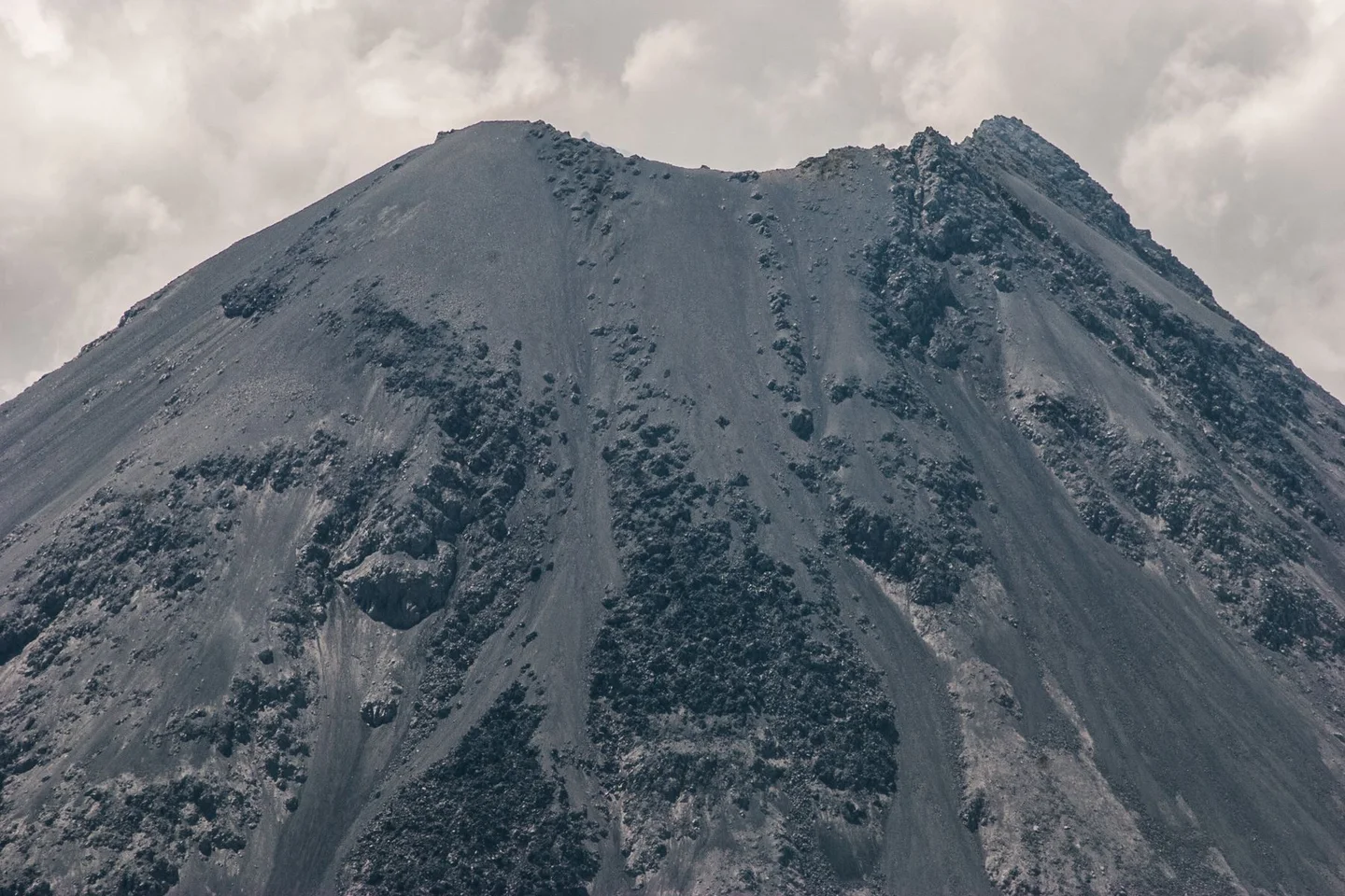
Give the landscape a scale
Include nearby vegetation, a path or a distant ridge in your observations. These comparisons make the size of the landforms easier to understand. Photographs that include the wider setting may communicate more than a close-up of dark rock whose scale is unclear.
Stay on approved paths and leave rocks where they are. Rough ground can be awkward even on a short route, so ask about the surface rather than relying only on distance. An outing that spends most of its time on an exposed overlook also needs different timing from one centred on an indoor exhibition and a brief outdoor walk.
If you are travelling with people who have different interests, combine one shared viewpoint with time in the visitor area rather than separating into ambitious and reluctant climbing groups. Agree on the return before starting. A day spent understanding the lower landscape can be more coherent than a hurried ascent attempted simply because the peak dominates every photograph of the region.