Start above the streets
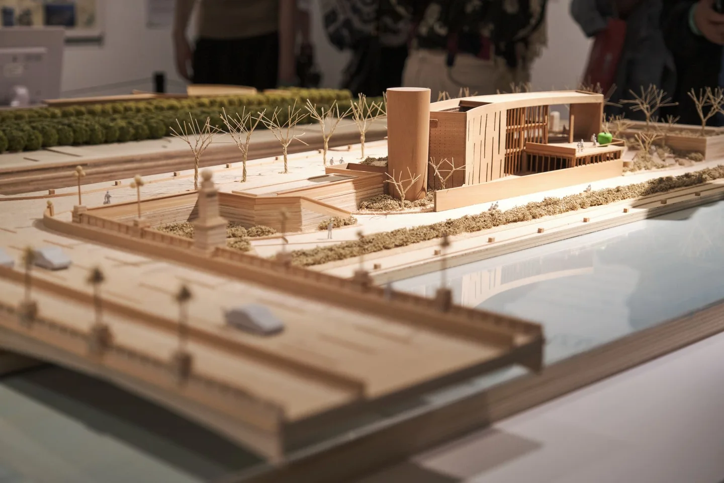
A scale model can explain a city in a way that a flat map cannot. Building heights, slopes and the relationship between open spaces become visible together. Before studying the miniature details, identify the area represented and the date or period of the model. It may show a historical city, a proposed project or a simplified interpretation rather than the streets as they are today.
Look for a key or explanatory panel. Colors can distinguish materials, building types or phases of development; they are not always realistic decoration. A missing building may be outside the model's purpose rather than evidence that it did not exist. Understanding the model's limits prevents an attractive display from becoming a misleading navigation aid.
Find three anchors
Choose a recognizable square, a major route and one large building or landscape feature. Locate them in relation to each other before following smaller streets. This creates a mental framework you can carry into the actual city. If the model represents an earlier period, compare those anchors with a current map rather than expecting every connection to survive.
Notice the spaces between buildings as carefully as the buildings themselves. A broad avenue, courtyard or river corridor may explain why certain routes feel direct and others fragmented. Models make these relationships visible, but the real walk will include crossings, entrances and changes in level that the miniature may simplify.
Do not lean on the case or point so close that your hand touches the model. If other visitors are looking, move around the display rather than occupying one position for a long time. A photograph can preserve the overall arrangement, provided the museum permits it, but glare may make a short written note more useful.
Distinguish reconstruction from proposal
A model of a past city may combine evidence with reconstruction, while a planning model may show something that has not been built. Read the description for that distinction before comparing it with the streets. A missing structure, an idealized landscape or a very regular block pattern may reflect the model's purpose rather than an error.
Scale changes what can be represented. Doorways, stairs and narrow passages may be omitted because they would be too small to show clearly. Do not use the model to decide whether a route is accessible or whether an entrance is open. Those questions require current information at street level.
If several models are displayed, compare one feature across them instead of trying to absorb every difference. The changing outline of a square or route can make a historical sequence understandable. Keep dates with your notes so that later photographs do not collapse different periods into one imagined city.
Take one comparison outside
After the visit, find one of your three anchors in the city. Compare what the model helped you understand with what it omitted: traffic, sound, shade or the way people use a square. The difference is part of the exercise.
You do not need to reconstruct the whole city from the display. A single clearer relationship between two places can improve the rest of your outing and give the miniature a purpose beyond its craftsmanship.